In the Caribbean, fishermen are helping to predict the next big hurricane
Small fishing boats are able to collect data from shallow waters where storms like Hurricane Melissa rapidly intensify.
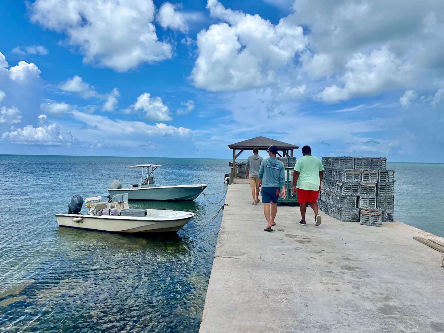
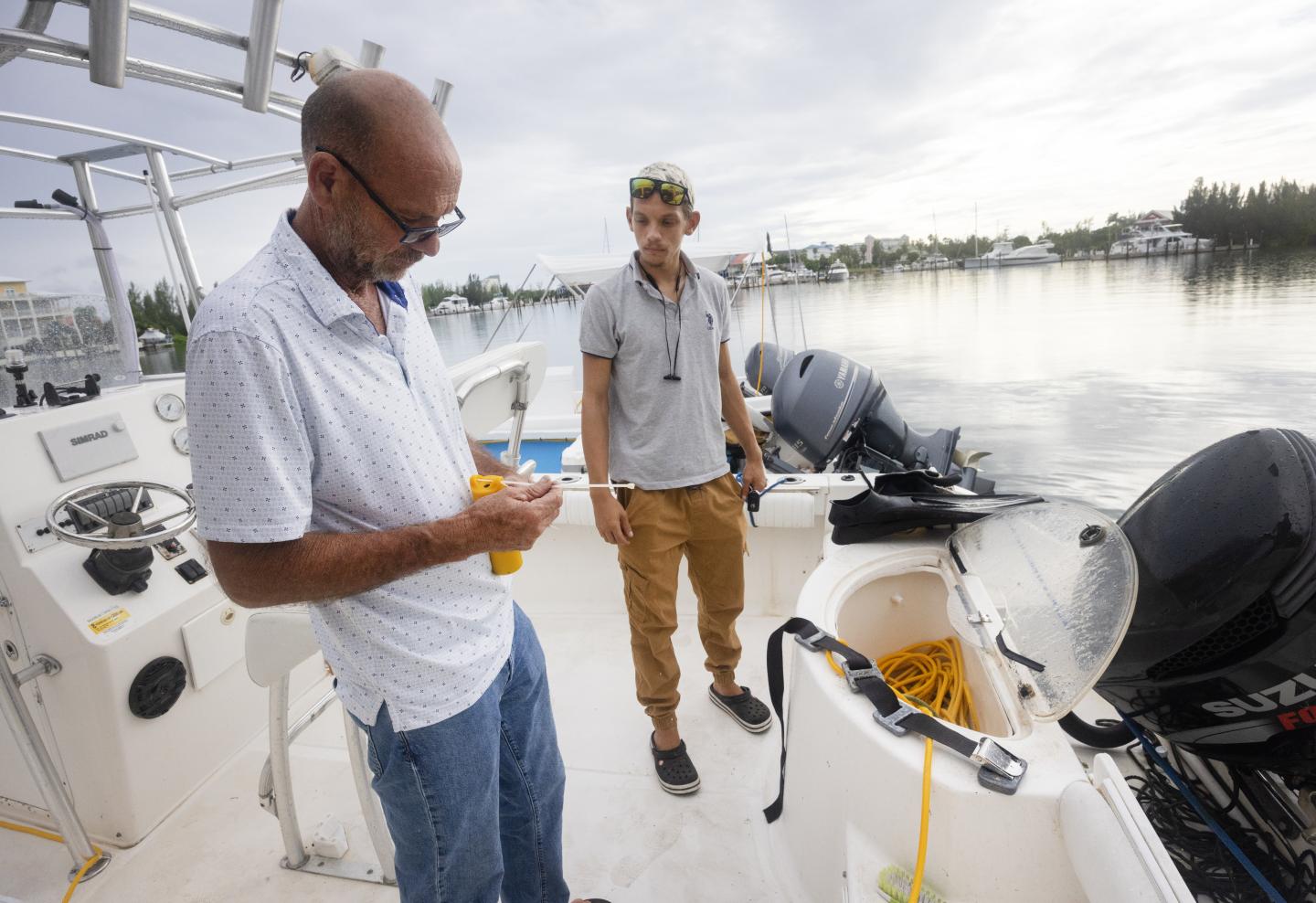
On a clear October morning off Moore’s Island in the Bahamas, fisherman Osbourne Stewart hauls his stone crab traps up from the bottom of the ocean, as he’s done for decades. But this time, his gear is catching more than seafood. Slim sensors embedded into a few of his traps are quietly recording ocean temperature and depth — data could make the difference between early preparation for hurricanes and surprise devastation.
Stewart’s boat survived Hurricane Melissa, which ripped through the Caribbean in late October. But he’s no stranger to the devastation these increasingly frequent severe storms can cause.
“In Hurricane Dorian in 2019, I lost my boat engine and all my traps, and my whole house was destroyed,” Stewart says. “If what I’m doing now helps people better prepare, maybe others won’t have to go through that.”
Stewart captains one of 13 working boats now gathering vital ocean data across the Bahamas archipelago, as part of the Fishing Vessel Ocean Observing Network, led by the global nonprofit Environmental Defense Fund, in partnership with the Bahamas Department of Meteorology and local fishermen. Since its launch in late 2024, the Bahamas project has fed real-time data into forecasting models, giving scientists an up-to-date understanding of the warm, energy-rich waters that fuel hurricanes.
What’s happening in the Bahamas is part of an expanding hurricane-monitoring network that’s now active in 13 countries. Around the world, fishermen and scientists are creating a people-powered ocean observation system that complements satellites and research vessels. The network is quickly increasing meteorologists’ ability to forecast storms, track marine heat waves and protect coastal communities. Along the Atlantic coast of the U.S., sensors also collect additional data that fishermen can use to target optimal conditions and improve their catch efficiency and sustainability.
Environmental news that matters, straight to your inbox
Fishing for lifesaving hurricane data
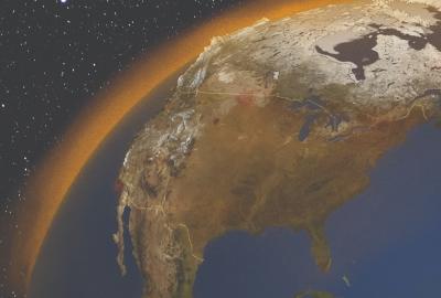
Hurricanes feed on warm ocean water. “The warmer the water and the deeper that warm pool extends, the more fuel a hurricane can use to intensify,” says Christopher Cusack, who develops ocean technology at EDF. Yet even as satellites and buoys scan the seas, they often miss the areas that matter most — the near-shore waters where storms can rapidly strengthen just before landfall.
Collecting data in these zones has long been costly and complicated. Satellites lose accuracy close to shore, buoys struggle amid reefs and boat traffic and research vessels are too expensive to deploy at scale — especially in nations with limited resources. That’s why fishers’ observations aren’t just helpful, they’re essential. Their daily work takes them through the very waters where hurricanes often intensify, offering critical insights that can improve forecasts and help communities prepare.
Gaps in near-shore data have long limited scientists’ ability to predict the sudden intensification of storms — the kind of rapid changes that have increasingly devastated vulnerable coastal communities.
“Sometimes we'll be expecting a Category 2,” says Jeffrey Simmons, acting director of the Bahamas Department of Meteorology, “and then next thing you know, we have a Category 5 on our doorstep.”
Hurricane Melissa, which landed in Jamaica as a Category 5 storm, was one of the most rapidly intensifying storms on record. “Most models under-forecasted Melissa’s rapid intensification as it crossed over a shallow ocean shelf that is one of Jamaica’s main fishing grounds,” says Cooper Van Vranken of Ocean Data Network, which administers FVON. “An FVON network there could have made a big difference.”
The FVON model is elegant and low-cost: Equip fishers’ traps and lines with rugged sensors that go along for the ride. When the gear surfaces, the data is automatically uploaded to the Bahamas Department of Meteorology, then on to the U.S. National Oceanic and Atmospheric Administration, where the information feeds directly into operational models.
Early elements of the network were developed in consultation with NOAA, beginning in 2001. Under the Trump administration, steep budget and staffing cuts have weakened the agency’s ability to collect critical weather data and support modeling efforts — curtailing research into the processes that drive extreme weather. At press time, it was unclear what use NOAA was making of the Bahamian data.
Local knowledge, global impact
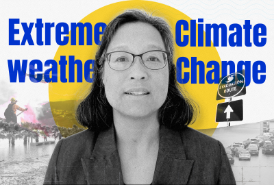
For Bahamian fishermen, each of whom has a story about how a hurricane changed their lives, the project is personal — particularly now that climbing temperatures are increasing the severity and frequency of tropical storms. Their participation in FVON is now shaping the science that could protect their communities and others across the Caribbean and beyond.
“When I was growing up, you never heard about a hurricane,” says Freeport lobster diver Alan Ralph-Maria, who carries a FVON sensor on his weight belt when he dives. “And then all of a sudden every year you have a hurricane, even in November now because it's just so warm. It feels good be contributing something that has a benefit for everyone, you know.”
As FVON continues to expand into new regions, it has drawn international attention. In April, IOCARIBE, a United Nations program that coordinates ocean science in the region, urged all Caribbean nations to partner with FVON to expand ocean data collection. The UN’s ocean monitoring agency recently recognized FVON as a vital mechanism for integrating critical fishing-vessel-based observations into the agency’s Global Ocean Observing System.
“Fishing vessels are the most cost-effective way to collect ocean data at scale,” Cusack says. “This is local action fueling global science — and it’s a blueprint for resilience in an era when every extra hour of warning can save lives.”